Typhoon2000 STORM UPDATE #04
Name: TROPICAL STORM EWINIAR [04W/0603]
Issued: 7:00 PM MANILA TIME (11:00 GMT) SAT 01 JULY 2006
Next Update: 7:00 AM (23:00 GMT) SUN 02 JULY 2006
Source: JTWC TROPICAL CYCLONE WARNING #007
_______________________________________________________________________
Next Update: 7:00 AM (23:00 GMT) SUN 02 JULY 2006
Source: JTWC TROPICAL CYCLONE WARNING #007
_______________________________________________________________________
TROPICAL STORM EWINIAR (04W)
RAPIDLY INTENSIFIED AS IT PASSEDCLOSE TO YAP ISLAND STATE THIS MORNING...NOW ACCELERATING
NORTHWESTWARD INTO THE PHILIPPINE SEA.
+ FORECAST OUTLOOK: EWINIAR is expected to continue tracking NW'ly
across the Philippine Sea. Forecast to become a 130-km/hr Typhoon
upon entering the Philippine Area of Responsibility (PAR) tomorrow
afternoon, July 2. Three to Five-Day Advance Forecast (July 4-6)
shows the system turning more to the North in the direction of
Okinawa-Southern Japan area with projected winds of 230 km/hr.
+ EFFECTS: EWINIAR's core continues to improve and strengthen with
the development of a Central-Dense Overcast (CDO). The storm's inner
& outer bands continues to spread across the tiny Micronesian islands
of Palau, Ulithi and Yap. The storm's core/CDO including the inner &
outer bands are expected to bring moderate to heavy rains with gale-
force winds that could produce flying debris, life-threatening flash
floods and mudslides along river banks, low-lying areas and mountain
slopes over the affected areas.
+ CURRENT MONSOON INTENSITY: This storm is expected to enhance & suck
the Southwest (SW) Monsoon across the Philippines especially the
western sections beginning next week (July 04-08). This monsoon system
will bring cloudy skies with winds of 30 to 60 km/hr, accompanied with
light, moderate to heavy rains. These rains may produce life-threate-
ning flash floods and mudslides along river banks, low-lying areas
and mountain slopes of the affected areas.
effects & current monsoon intensity changes every 06 to 12 hours!
_______________________________________________________________________
TIME/DATE: 5:00 PM MANILA TIME (09:00 GMT) 01 JULY
LOCATION OF CENTER: LATITUDE 9.5º N...LONGITUDE 136.7º E
DISTANCE 1: 155 KM (83 NM) WEST OF COLONIA, YAP, FSM
TIME/DATE: 5:00 PM MANILA TIME (09:00 GMT) 01 JULY
LOCATION OF CENTER: LATITUDE 9.5º N...LONGITUDE 136.7º E
DISTANCE 1: 155 KM (83 NM) WEST OF COLONIA, YAP, FSM
DISTANCE 2: 345 KM (187 NM) NE OF KOROR, PALAU, FSM
DISTANCE 3: 1,230 KM (665 NM) EAST OF SURIGAO CITY, MINDANAO, PH
MAX SUSTAINED WINDS [1-MIN AVG]: 95 KM/HR (50 KTS)
PEAK WIND GUSTS: 120 KM/HR (65 KTS)
MINIMUM CENTRAL PRESSURE (est.): 987 MILLIBARS (hPa)
MAX WAVE HEIGHT**: 21 FEET (6.4 METERS)
SAFFIR-SIMPSON SCALE: N/A
RECENT MOVEMENT: NW @ 17 KM/HR (09 KTS)
GENERAL DIRECTION: PHILIPPINE SEA
STORM'S SIZE (IN DIAMETER): 520 KM (280 NM)/AVERAGE
VIEW T2K TRACKING MAP: 5 PM SAT JULY 01
TSR WIND PROBABILITIES: CURRENT TO 120 HRS LEAD
PHILIPPINE STORM SIGNALS*: N/A
09-21 HR. FORECAST:
> 2 AM (18 GMT) 02 JULY: 10.4N 135.8E / 110-130 KPH
> 2 PM (06 GMT) 02 JULY: 11.6N 134.7E / 130-160 KPH [Typhoon]
REMARKS: 2 PM (06 GMT) 01 JULY POSITION: 9.2N 137.0E.
^ TS EWINIAR WILL TRACK NORTH-NORTHWESTWARD UNDER THE
INFLUENCE OF MID-LEVEL HIGH PRESSURE RIDGING TO THE
SOUTHEAST OF THE STORM THROUGH 24 HOURS. AFTER 48
HOURS, THE SUBTROPICAL RIDGE (STR) TO THE NORTH WILL
BECOME THE PRIMARY STEERING MECHANISM. AN APPROACHING
MIDLATITUDE TROUGH WILL WEAKEN THE STR, ALLOWING
EWINIAR TO CONTINUE ON A NORTHWESTERLY TRACK AROUND
THE PERIPHERY OF THE STR THEREAFTER...(more info)
>> EWINIAR {pronounced: ee~win~yar}, meaning: Chuuk
traditional storm God. Name contributed by: Micronesia.
_______________________________________________________________________
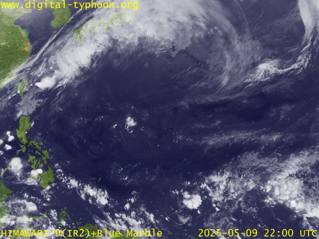
RECENT MTSAT-1R SATELLITE IMAGE:

> Image source: Digital-Typhoon.org (Nat'l. Institute of Informatics) (http://www.digital-typhoon.org)
__________________________________________________________________________________________
LATEST T2K TRACKING CHART:

_______________________________________________________________________________________
NOTES:

> Image source: Digital-Typhoon.org (Nat'l. Institute of Informatics) (http://www.digital-typhoon.org)
__________________________________________________________________________________________
LATEST T2K TRACKING CHART:

_______________________________________________________________________________________
NOTES:
^ - JTWC commentary remarks (for Meteorologists) from their latest warning.
* - Based on PAGASA's Philippine Storm Warning Signals, # 4 being the
highest. Red letters indicate new areas being hoisted. For more
explanations on these signals, visit: http://www.typhoon2000.ph/signals.htm
** - Based on the Tropical Cyclone's Sea Wave Height near its center.
__________________________________________________________________________________________
>> To know the meteorological terminologies and acronyms used on
this update visit the ff:
http://typhoon2000.ph/tcterm.htm
http://www.nhc.noaa.gov/aboutgloss.shtml
http://www.srhnoaa.gov/oun/severewx/glossary.php
http://www.srh.weather.gov/fwd/glossarynation.html
http://www.nhc.noaa.gov/acronyms.shtml
__________________________________________________________________________________________
T2K Mobile: receive the latest storm updates directly to your mobile phones! To know more,
Send T2K HELP to: 2800 (GLOBE & TM) | OFFLINE (SMART & TNT) | 2288 (SUN)
Powered by: Synermaxx
__________________________________________________________________________________________
For the complete details on the TS EWINIAR (04W)...go visit our website @:
> http://www.typhoon2000.com
> http://www.maybagyo.com
:: Kindly view our site's disclaimer at: http://www.typhoon2000.ph/disclaimer.htm
Visit Your Group | Yahoo! Groups Terms of Use | Unsubscribe
New Message Search
Find the message you want faster. Visit your group to try out the improved message search.
SPONSORED LINKS
.
__,_._,___
No comments:
Post a Comment